En
En 
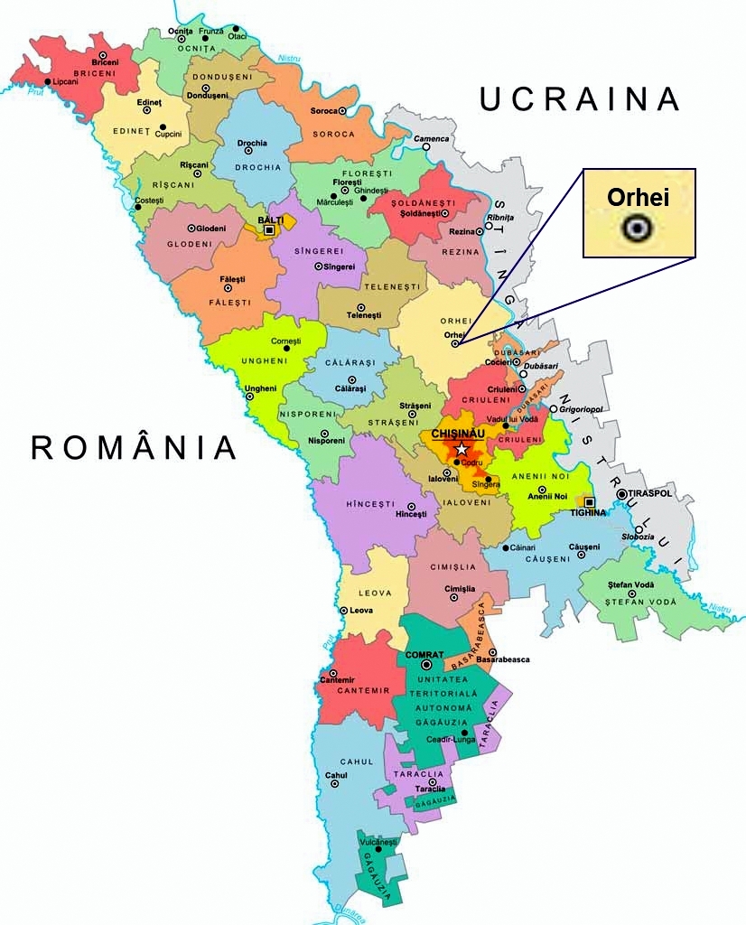
Orhei is located in the center of the Republic of Moldova, at the distance of 45 km to the north from the capital, on the Chisinau-Balti road, on the bank of the Raut river.
The town occupies 1402 hectares, it has a varied and picturesque natural environments, the hills and creeks create beautiful perspectives and the urban compositions are well-combined with the natural forms. The out-of-town agricultural parcels have an area of 218 hectares, the stone quarry „Ivanos” occupies an area of 54 hectares. The towns’ natural landscape has a considerable unexploited urban potential providing the possibility to create a diversified and well-structured system in the green areas. Here one must mention the attractive landscape of Raut river and the large entertainment area with a balneal microclimate of Codru forests from the vicinity of town. The rivers Raut and Ivanos and the town’s lake form the towns’ hydrographic network.
The total green area of the town is 184 hectares or 9,1% of its total area, 70% being covered with forestry vegetation, the rest being renewed annually.
The town’s natural resources are represented by stone and argyle. Also there are areas under open quarries with gravel and macadam with excessive humidity, salted, eroded, with landslides and ravines.